March 31, 2017
 & Carnegie Robotics CTO Chris Osterwood (R).jpg) Swift Navigation CTO Fergus Noble, left, and Carnegie Robotics CTO Chris Osterwood, right. Photo source: Swift Navigation.
Swift Navigation CTO Fergus Noble, left, and Carnegie Robotics CTO Chris Osterwood, right. Photo source: Swift Navigation.
A partnership between Swift Navigation and Carnegie Robotics announced this week is expected to yield a line of navigation products for autonomous vehicles, outdoor robotics and machine control.
San Francisco-based Swift Navigation is a startup building centimeter-accurate GPS technology designed to power a world of autonomous vehicles, while Carnegie Robotics, located in Pittsburgh, Pennsylvania, provides advanced robotics sensors and platforms for defense, agriculture, mining, infrastructure and energy applications.
Read More >
By Inside GNSS
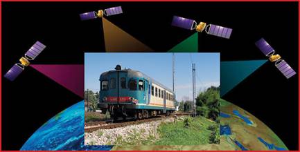
 Demo Test in Italy on Cagliari – Decimomannu line – February 24, 2017. From left: Josef Doppelbauer (Executive director of ERA – European Union Agency for Rail), Maurizio Gentile (Chief Executive Officer of RFI – Rete Ferroviaria Italiana), Jean-Pierre Loubinoux (Director General of UIC – the worldwide professional association representing the railway sector and promoting rail transport), Carlo des Dorides (Executive director of GSA).