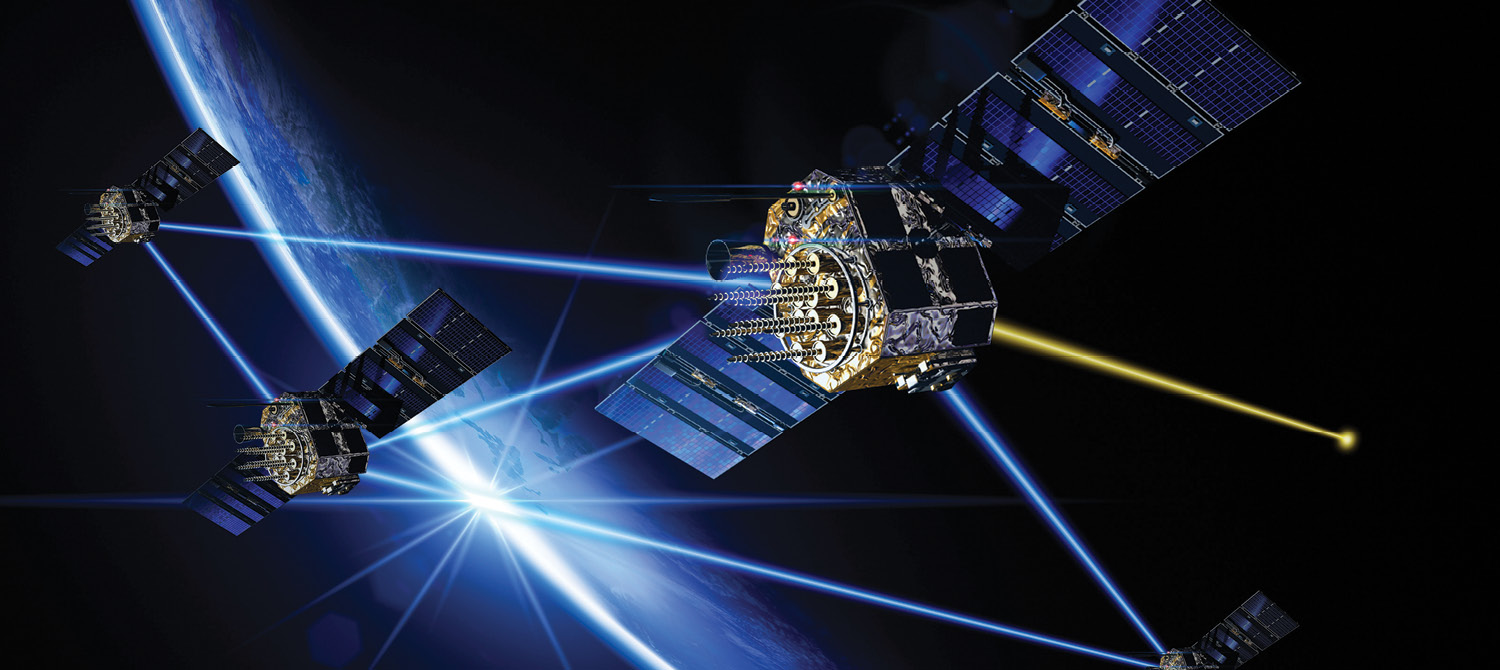
The APNT problem statement and notional requirements for UAVs and Loitering Munitions.
This white paper presents the Assured Position Navigation and Time (APNT) Problem Statement for UAVs and Loitering Munitions. It explains the different types of PNT and concludes that Precision Absolute PNT is essential to successful mission completion for UAVs and Loitering Munitions. This assessment measures mission success based on Cost Per Successful Mission (CPSM).
We discuss the many environmental and adversarial threats that can impair the sensors needed to provide APNT, specifically threats to GPS/SATNAV and Vision Map Matching, and show how they impact performance. We discuss potential solutions to enable provision of APNT within the threat environments.
We propose an architectural approach that optimizes reuse and reduces cost by using a Common APNT Package (CAP) to maximize flexibility for a given platform and maximize scalability across platforms.
Finally, we show how Modernized GPS that is toughened and augmented enables successful mission completion in the face of significant GPS jamming and spoofing.
The modern battlespace has changed over the past decade, and the military use of GPS to deliver critical positioning, navigation and timing (PNT) information to warfighters faces challenges from adversaries’ threat systems. We have seen several examples of outdated GPS solutions failing to provide adequate (or in some cases any) PNT performance on the battlefield in Ukraine and elsewhere. Modernized (M-Code) GPS, however, continues to be relevant for the U.S. military and its allies, even when used in contested environments. Existing and future military GPS solutions must especially consider those uses designed for handheld and ultrasmall applications where size, weight, power, and cost (SWaP-C) are all key considerations.
APNT FOR UAVS AND LOITERING MUNITIONS
Access to Precision Absolute PNT is critical to the successful execution of missions for UAVs and Loitering Munitions.
“Precision” PNT, as distinct from non-precision or relative PNT, is usually defined within the defense industry as error of less than 10 meters for positioning applications and less than 1 millisecond for communications applications. “Absolute” PNT is defined as using the World Geodetic Survey 1984 (WGS84) reference frame and Coordinated Universal Time (UTC) (Figure 1, Quadrant D).
The warfighter is dependent on Precision Absolute PNT to perform many of the missions anticipated by UAVs and Loitering Munitions in all weather, day/night and all terrains. Figure 2 shows why Precision Absolute PNT (Quadrant D) is important to UAV and Loitering Munition effectiveness. It provides full mission capability across all mission types while other levels of APNT performance (Quadrants A-C)
provide partial mission capability for some missions and remain not mission capable for many mission types.


APNT THREAT ENVIRONMENT AND POTENTIAL SOLUTIONS
GPS and SATNAV Threats
GPS as well as other SATNAV sources are vulnerable to a variety of threats as shown in Figure 3. The threat environment ranges from “Permissive” in column 1 through “SATNAV Unavailable” in column 7. Columns 2 through 4 involve jamming and/or spoofing and are solvable using anti-jam and anti-spoof technology to toughen the GPS sensor along with inertial dead
reckoning and clock coasting to augment the GPS sensor.
Column 5 represents a condition where GPS has been taken offline altogether and the solution involves switching to an alternative “Precision” SATNAV source, such as Galileo. By toughening and augmenting this alternative SATNAV source, a solution is provided for up to long temporary outages. Column 6 shows a condition where all “Precision” SATNAV sources have been taken offline and is solved by use of alternative SATNAV sources of lower precision, such as ALTNAV or other LEO-based PNT. Again, toughening and augmenting this alternative SATNAV source enables a solution through long, temporary outages of this source. Column 7 represents a condition where all SATNAV sources have been taken offline. In this condition, there is not a SATNAV-based APNT solution available.
Vision Map Matching Threats
Vision Map Matching is vulnerable to a different variety of threats as shown in Figure 4. The threat environment ranges from “Permissive” in column 1 through “Vision Unavailable” in column 6.
Providing PNT using Vision Map Matching requires precise time initialization and clock coasting in all threat conditions. Columns 2 and 3 represent vision impairment in the visible spectrum and multiple spectrums, respectively. The solution involves adding multi-spectrum map matching capability. Columns 4 and 5 represent a combination of threats, including impairment, unrecognizable terrain and potentially dazzling, combining to cause short- or long-term Vision Map Matching outages. The solution involves adding inertial dead reckoning to the clock coasting and multi-spectrum sensing needed for Columns 1 through 3. Column 6 involves loss of Vision Map Matching capability due to burnout or other causes resulting in no vision-based APNT solution.
Merged SATNAV & Vision Map Matching Solution
The lack of correlation between the threats affecting GPS/SATNAV versus those affecting Vision Map Matching provides an opportunity for an enhanced APNT capability by merging the solutions. Figure 5 shows the enhanced ability to provide an APNT solution across all SATNAV and vision threat conditions. As can be seen, Precision Absolute PNT (Quadrant D in Figure 1) is provided across most threat conditions. A degraded, but still significant, PNT capability is provided for the rest of the combined threat conditions with the exception of both SATNAV and vision being unavailable simultaneously.
Vision Map Matching provides significant benefit to a GPS/SATNAV-only solution, as shown by the cells with bold lettering. Vision improves accuracy of the GPS/SATNAV solution when in a long outage and provides a PN (not T) solution when SATNAV is unavailable.
Likewise, it is interesting to observe the benefit gained by adding GPS/SATNAV to a Vision Map Matching solution. Figure 6 shows the same merged threat condition matrix with a Vision Map Matching only solution. Here, we see that without the precision time of GPS/SATNAV to at least initialize a clock coasting function for the vision system, PNT is degraded to just PN (no time). Likewise, without GPS to initialize platform location, vision-based PNT may struggle to operate or fail to operate altogether. Additionally, without GPS, PN performance will be degraded as outages extend to long time periods. So, all rows benefit from GPS/SATNAV precise position and time and the two lowest rows benefit by having access to a Precision Absolute PNT solution when vision outages become long or permanent.


PROPOSED UAV AND LOITERING MUNITIONS ARCHITECTURE
We propose optimization of the UAV and Loitering Munitions architecture to minimize CPSM across the missions of a given platform and across platforms. We recommend defining a minimum viable set of platforms to cover the mission types and determine breakpoints between platform types for:
• Expendable
• Attritable
• Survivable
Figure 7 shows our understanding of the current breakdown of UAV and Loitering Munitions platforms. The better we all understand the breakdown of planned platforms, the better we can optimize
solutions to provide the best performance at the lowest cost.


ARCHITECTURE OF KEY UAV SYSTEMS
To optimize CPSM, we recommend incorporating a Common APNT Package (CAP) that is part of the UAV platform, not mission payload, but distinct from the navigation/guidance package. We recommend that all mission payloads that require PNT receive it from the Common APNT package.
For purposes of this discussion, we are defining platform to include all elements of the UAV that remain constant across all mission types. We are defining mission payload as those elements that may change based on the selected mission.
We recommend the CAP incorporate an APNT multi-sensor package that meets mission skyline requirements for a given platform, including:
• M-Code GPS
• Anti-jam
• Anti-spoof
• Assured sensor fusion
• Dead reckoning (including inertial, velocity, altitude, etc. sensors)
• Clock coasting
• Multi-SATNAV
• Vision Map Matching
We recommend implementing a common standard sensor interface to optimize modularity between sensors. We also recommend implementing a common standard PNT distribution interface for all mission packages to optimize use of the PNT data from CAP across the platform, including all mission packages requiring PNT.
Figure 8 shows the proposed top-level architecture including a CAP in the platform with a common standard PNT interface to enable use across all mission payloads.
Figure 9 shows a proposed CAP and mission payload architecture and how it optimizes reuse and flexibility across missions while reducing cost and maximizing scalability across platform types.
Figure 10 shows a general APNT architecture model that enables modularity, flexibility and scalability. It is tailored for the UAV and Loitering Munitions problem space, where the bolder colored items are included and the faded items are optional. Note the center of the model is assured sensor fusion, not a specific sensor. By putting sensor fusion in the middle, we optimize flexibility and scalability, and by making it assured, we optimize provision of assured PNT. The key to assured PNT is the Integrity Ring shown on the diagram, where the integrity of individual sensor outputs is validated prior to inclusion in the assured sensor fusion solution.


SYSTEM PERFORMANCE (JAMMING/SPOOFING) FOR UAVS AND LOITERING MUNITIONS
To illustrate performance of the proposed architecture in a GPS jamming environment, Figure 11 shows the relative performance of various GPS configurations, including current GPS as well as improvement using different generations of GPS M-Code, and M-Code with Regional Military Protection (RMP). As shown in Figure 11, current M-Code GPS receivers provide better anti-jam performance than the legacy military GPS receivers and much better than commercial GPS receivers currently used by many UAV platforms. This allows operation closer to the jammer while maintaining Quadrant D precision absolute position and time.
For the small area of operation where GPS is potentially denied, non-GPS augmentation technology such as inertial dead reckoning or vision navigation can supplement the PNT solution to provide continuous assured PNT. In a corner condition where both GPS is denied and the non-GPS augmentation is unavailable, an outage of PNT is possible (Figure 5).
In addition to GPS jamming, GPS spoofing is an important consideration for operation in a threat environment. The most robust navigation systems include a layered approach to PNT integrity, using all available sensors and sophisticated algorithms to ensure a trusted solution.
Current military GPS receivers include several anti-spoofing techniques and provide the foundation of a layered integrity approach. When an AJ antenna is applied, more sophisticated algorithms provide the highest level of PNT integrity available for a military GPS receiver. These algorithms do not depend on specific threat characteristics for detection, can mitigate mixed threat scenarios, and provide a trusted GPS cold start capability.
In addition to GPS technologies, non-GPS augmentation technologies can be used to enhance integrity by using consistency checks across multiple sensors. Together, this multi-layered approach provides a very robust anti-spoofing solution in all operational scenarios.

CONCLUSIONS
APNT, especially Assured Precision Absolute PNT (Quadrant D in Figure 1), is essential to successful mission completion for UAVs and Loitering Munitions. This is made clear when assessing success based on CPSM.
We have shown the many environmental and adversarial threats that can impair the sensors needed to provide APNT. We described those threats, specifically threats to GPS/SATNAV and Vision Map Matching, and have shown how they impact performance. We have further included potential solutions to enable provision of APNT within the threat environments. Of special note is the benefit of combining GPS/SATNAV with Vision Map Matching, which provides good APNT performance across all but the most extreme combined threat environment.
We have proposed an architectural approach that optimizes reuse and reduces cost by using a CAP that maximizes flexibility for a given platform and scalability across platforms.
Finally, we have shown how Modernized GPS that is toughened and augmented enables successful mission completion in the face of significant GPS jamming and spoofing.


