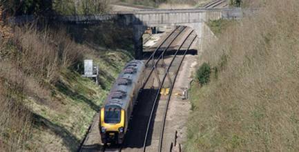
The European Space Agency (ESA) has launched a new initiative to support space-based enhancements to Europe’s railway network.
Space4Rail will highlight ESA funding programs that could support the use of GNSS in rail applications while raising awareness of the added value that space systems can deliver.
GNSS is already being employed within the rail network to monitor trains and check the integrity of rail infrastructure, and ESA, as a research and development agency, has various programs dedicated to supporting such activities.
Space4Rail has been set up as a one-stop shop for the rail industry to learn about the agency and facilitate the submission of proposals for partnerships. ESA offers financial and technical support to projects – including access to its specialists and agency laboratories – while acting as a broker between the space industry, the railway industry, and service providers.
ESA is already contributing to the Next Generation Train Control (NGTC) project through a satellite expert group, providing technical expertise on integrating satnav into future railway signaling systems.
Coordinated by the European rail manufacturing industry association UNIFE and supported through the European Commission’s Seventh Framework Program, NGTC is a consortium made up of the main rail system signaling suppliers, together with mainline operators and infrastructure managers as well as urban rail operators.
One example of such ESA-aided efforts is the 3InSat (Train Integrated Safety Satellite System) project on a regional railway in Sardinia (Italy), co-funded within the framework of the ESA´s ARTES 20 program. Led by Ansaldo STS, the 3InSat team is developing and validating satellite-based services compatible with the European Railway Traffic Management System (ERTMS).
In September, a series of tests iwill validate the GNSS-based location services that will eventually be integrated into the telecommunication network.
The European-wide standard for train control and command systems, ERTMS, has been promoted by the European Union to ensure cross-border interoperability and simplify procurement of signaling equipment. Since 2004, ERTMS has been deployed not only on an increasing number of European rail lines but also on railways in other parts of the world as well, such as in China and New Zealand.
Introducing satellite navigation and communications into ERTMS has been a significant challenge due to the stringent safety requirements with which railway signaling systems must comply. Once the approach is validated, however, space-based systems could play an important role in making rail transport safer and expanding the market opportunities for ERTMS.
The two main components of standard ERTMS implementations are the European Train Control System (ETCS), a standard for in-cab train control, and GSM-R, which is a GSM-based mobile communications standard for railway operators. Up to now, trains using ERTMS determine their location by means of balises, electronic beacons or transponders, which are placed along a railway every 500–1,500 meters. This information is transmitted via a dedicated GSM-R terrestrial network to rail traffic control centers, which use the same network to transmit route data, recommended speeds and other information to train operators, taking into account the proximity of other trains.


