Amberg Infra 7D AG, part of the Swiss-based Amberg Group, has developed GEOvis, a cloud platform for collecting and visualizing geo-monitoring data across complex infrastructure projects.
The system addresses a persistent problem in civil engineering, obtaining timely and integrated information on ground and structural movement from multiple sensor types in challenging environments.
“GEOvis is a monitoring platform for visualization,” said Amar Camo, Project Manager at Amberg Infra 7D, speaking to Inside GNSS at InterGEO 2025 in Frankfurt. “You can use it to visualize your monitoring data, but we can also collect data ourselves or host clients that have their own total stations or any sensors.”
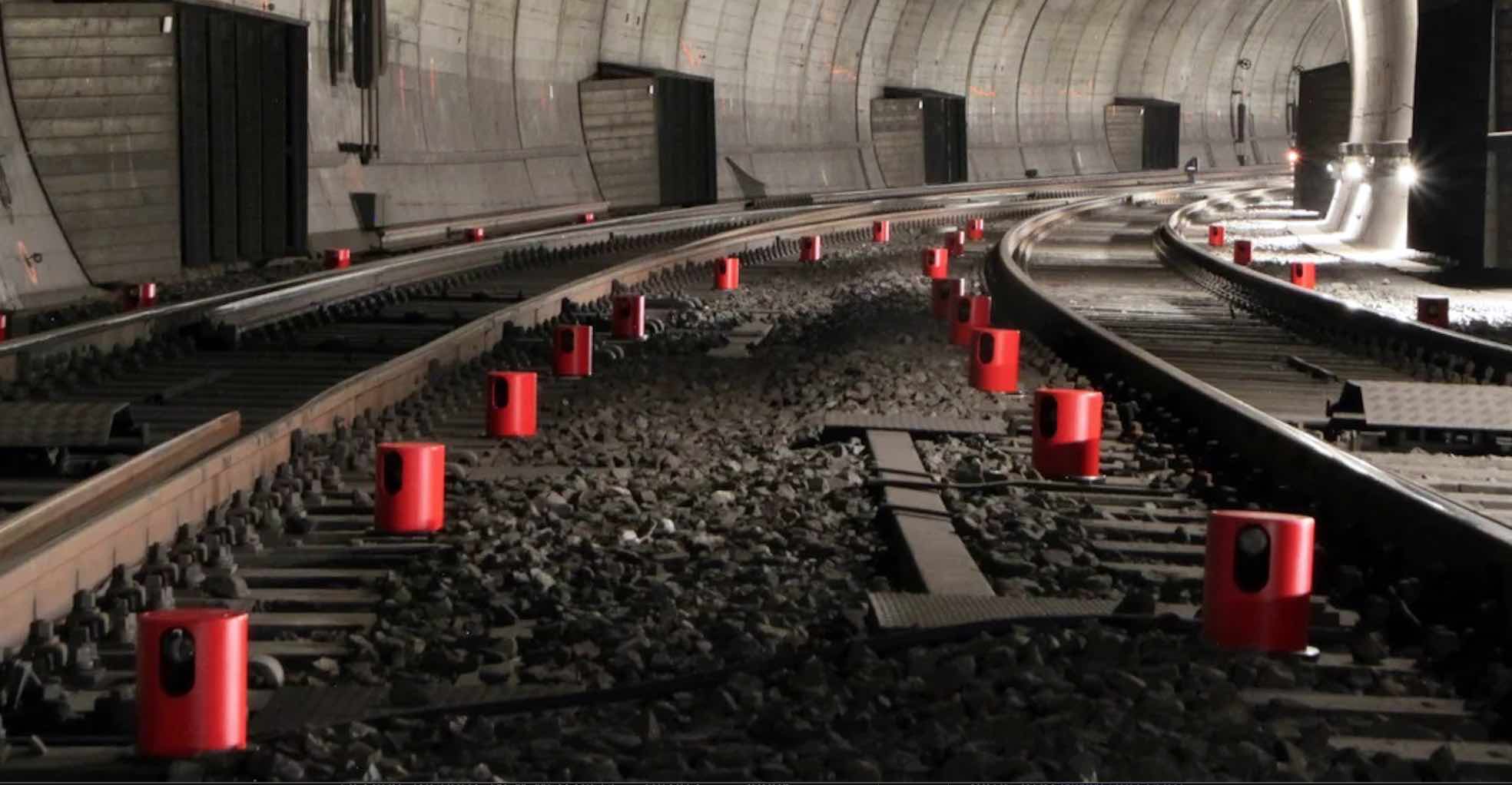
The platform centralizes data from tunnels, railways, bridges, and urban construction sites, supporting real-time analysis and automated alerts. In tunneling and excavation, it tracks ground deformation and settlement. For rail projects, GEOvis provides millimeter-level precision to detect movement along tracks, while in dense urban environments it monitors potential displacement affecting nearby buildings or utilities.
At its core, GEOvis is a flexible web-based system that scales from manual campaigns to fully automated monitoring networks. It supports a broad sensor range, including total stations, inclinometers, crackmeters, vibration sensors, fiber-optic instruments, and GNSS receivers. The integration of GNSS data enhances the system’s capability to detect three-dimensional displacements over time, particularly in locations where optical instruments face line-of-sight limitations.
GNSS among a range of sensors
GNSS delivers absolute positioning and long-term stability, allowing GEOvis to import, process, and visualize satellite-derived data alongside terrestrial measurements. The platform’s architecture supports custom integration, a key differentiator according to Camo: “If the user comes and says, ‘Hey, we have this sensor’ we can integrate it into our software. It’s not a problem for us to adapt to what the user needs; our engineers are on it straight away.”
Founded in 2024, Amberg Infra 7D builds on more than 60 years of Amberg Group expertise in surveying, rail, and tunnel inspection. “The Amberg Group started as a normal survey company,” Camo said. “Then they created products that were very rail-oriented; Switzerland has a lot of tunnels and rail work, and they’re very careful about upkeep and inspection.”
Complementing GEOvis, the company offers Amberg Navigator, a field application that connects directly to total stations, laser scanners, or GNSS receivers for fast and guided measurements. “Navigator allows for very simple and easy measurements, say, in a tunnel,” Camo said. “You just point the instrument, it actually figures out where it is.”
Together, GEOvis and Navigator illustrate Amberg Infra 7D’s integrated approach to digital infrastructure monitoring, combining GNSS precision, real-time visualization, and adaptable field technology within a single ecosystem.


