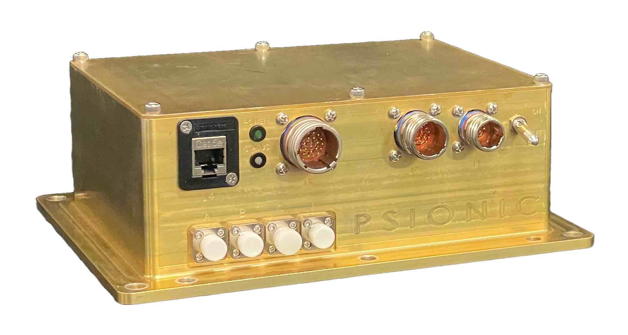
PSIONIC is taking a different approach to RF and jamming mitigation. The company’s new laser-based sensor, SurePath, features a proprietary navigation filter that uses real-time velocity vectors to correct IMU sensor errors—providing information in one platform that typically requires multiple. And, according to the company, the undetectable velocimeter can’t be spoofed or jammed.
SurePath takes multiple line-of-sight measurements to determine the vehicle’s surface relative velocity vector. Measurements are made from the vehicle against the surface’s reference frame, with surface relative velocity measured in real time.
“It measures velocity directly in the Doppler Effect,” Senior Staff Scientist Jeff Monaco said, “so you know not just how fast it’s going but in what direction. Other solutions just give the speed measurement. This provides the velocity vector.”
Few other sensors can make that measurement with the same level of accuracy, Software Engineer Corin Sandford said. The velocimeter’s direct real-time measurements eliminate error sources you might get with other methods. There’s also no need to rely on external satellite signals.
Sanford and Monaco were on hand during ION’s Joint Navigation Conference (JNC) in Kentucky earlier this month to talk about the technology, and both said many attendees stopped by to learn more about SurePath and how it can address the growing interference threat.
The patented technology is based on the Navigation Doppler LiDAR (NDL) NASA developed for an autonomous, human-rated, rocket-powered lunar lander. The technology was onboard a recent space mission to collect data. It exceeded expectations, providing longer ranges and higher velocities than anticipated.
PSIONIC can provide customers with a turn-key solution or just the sensor to be integrated into their own sensor suite, Sanford said. The modular, configurable solution can be used on ground, aerial and space vehicles. Applications include on-orbit operations, lunar rovers, drone flights, autonomous convoys and autonomous mining.
“This is mostly used when GNSS isn’t available,” Monaco said, “but because it’s able to sense velocity directly, it provides an accurate measurement of where you are under a much longer horizon.”
The company is now ramping up production of SurePath and has plans to miniaturize the solution over the next few years to open up more use cases.
“It has a really high tech-readiness level because it’s been used in missions,” Monaco said. “Now, we’re optimizing the system, making it smaller and reducing its weight for a lower SWAP.”


