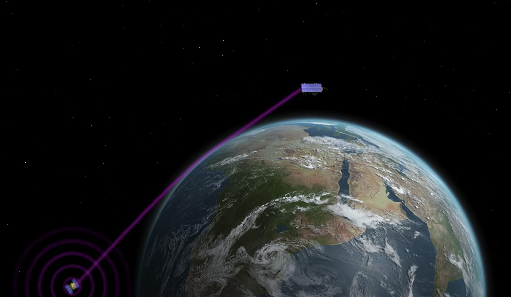
A satellite launching in November will use GNSS – Radio Occultation (GNSS-RO) to collect highly accurate global temperature and humidity information as an aid to more accurate and more advanced weather forecasting. Developed by NASA’s Jet Propulsion Laboratory (JPL), the spacecraft’s GNSS-RO instrument tracks GNSS satellite signals to measure the physical properties of Earth’s atmosphere.
The GNSS-RO instrument aboard the Sentinel-6 Michael Freilich satellite will collect GNSS satellite signals at the top of the atmosphere, in what is close to a vacuum. Although there are sources of error in every scientific measurement, at that altitude, there’s no refraction of the signal, which means there’s an almost bias-free baseline to which atmospheric measurements can be compared in order to minimize noise in data collection.
The precise global atmospheric measurements made by Sentinel-6 Michael Freilich will complement atmospheric observations by other GNSS-RO instruments already in space. National Oceanic and Atmospheric Administration’s National Weather Service meteorologists will use insights from Sentinel 6’s GNSS-RO to improve weather forecasts.
[Image above from on online video explaining the Sentinel-6 project. Credit: NASA/JPL-Caltech. This news story is adapted from a JPL/NASA press release.]
The GNSS-RO information will also provide long-term data to monitor how the atmosphere is changing and to refine models used for making future climate projections. Data from this mission will help track hurricane formation and support storm-prediction models.
Sentinel-6 Michael Freilich will join the six COSMIC-2 satellites as the most advanced GNSS-RO instruments among in space. “Compared to other radio occultation instruments, they have higher measurement precision and greater atmospheric penetration depth,” said Chi Ao, the instrument scientist for GNSS-RO at JPL.
The GNSS-RO instrument’s receivers track GNSS signals as they dip below, or rise from, the horizon. They can detect these signals through the vertical extent of the atmosphere – through thick clouds – from the very top and almost all the way to the ground. This is important, because weather phenomena emerge from all layers of the atmosphere, not just from near Earth’s surface where we experience their effects.
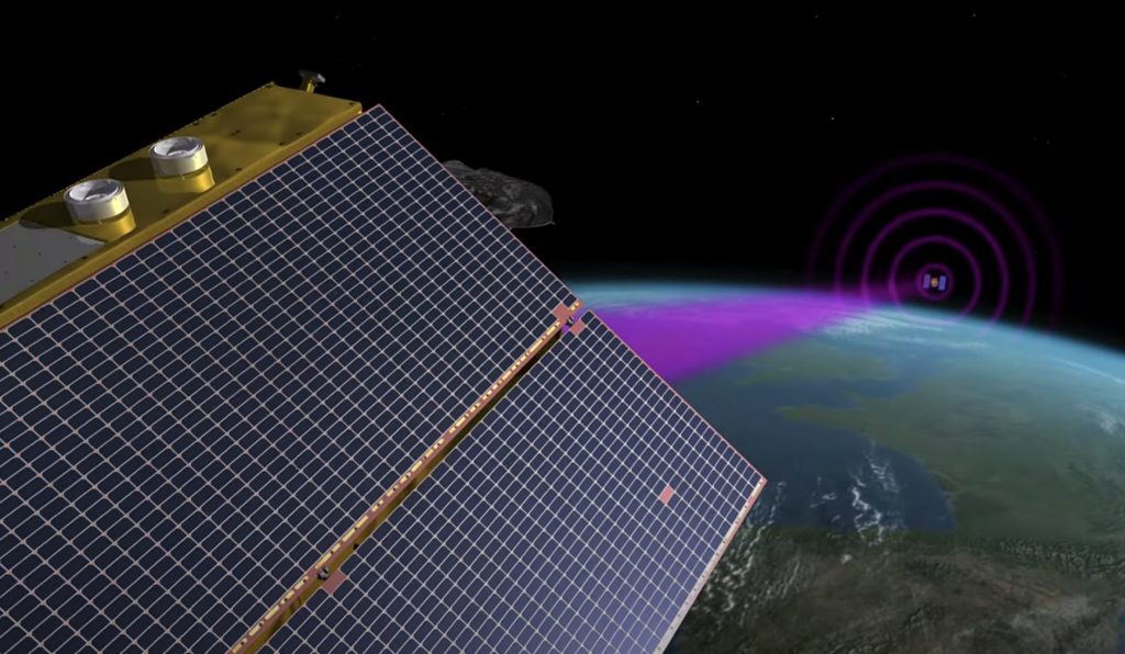
“Tiny changes in the radio signal can be measured by the instrument, which relate to the density of the atmosphere,” added Ao. “We can then precisely determine the temperature, pressure, and humidity through the layers of the atmosphere, which give us incredible insights to our planet’s dynamic climate and weather.”
Probing the entire vertical profile of the atmosphere from orbit is important for data accuracy. Meteorologists typically gather information from a variety of sources – from weather balloons to instruments aboard aircraft. But sometimes scientists need to compensate for biases in the data. For example, air temperature readings from a thermometer on an airplane can be skewed by heat radiating from parts of the aircraft.
Background
Copernicus Sentinel-6/Jason-CS is being jointly developed by the European Space Agency (ESA), the European Organisation for the Exploitation of Meteorological Satellites (EUMETSAT), NASA, and the National Oceanic and Atmospheric Administration (NOAA), with funding support from the European Commission and support from France’s National Centre for Space Studies (CNES). The first Sentinel-6/Jason-CS satellite that will launch was named after the former director of NASA’s Earth Science Division, Michael Freilich. It will follow the most recent U.S.-European sea level observation satellite, Jason-3, which launched in 2016 and is currently providing data.
NASA’s contributions to the Sentinel-6/Jason-CS mission are three science instruments for each of the two Sentinel-6 satellites: the Advanced Microwave Radiometer, the GNSS-RO, and the Laser Retroreflector Array. NASA is also contributing launch services, ground systems supporting operation of the NASA science instruments, the science data processors for two of these instruments, and support for the international Ocean Surface Topography Science Team.


