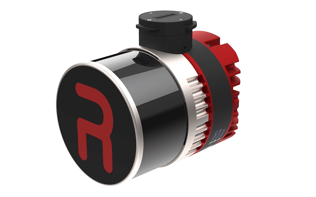
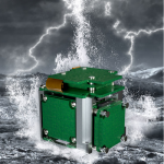
Inertial Labs, a provider of position and orientation technology, has introduced its latest innovation: the RESEPI Ultra LITE, a light complete payload featuring both LiDAR and camera technology. Designed with the needs of the modern surveyor in mind, the RESEPI Ultra LITE offers precision and adaptability for diverse mapping applications.
At its core, the RESEPI Ultra LITE integrates the XT-32 LiDAR scanner, providing surveyors with top-tier data accuracy, a high point density, and the versatility to perform in various operational modes.
With a lightweight design for easy transport and deployment, the RESEPI Ultra LITE is compatible with numerous platforms, including Freefly, WISPR, DJI, Sony, and mobile setups. This seamless integration is achieved through Inertial Labs’ proprietary SnapFit adapters, which ensure rapid and secure mounting and dismounting. Engineered for high accuracy and precision, the system underwent meticulous testing to refine timestamping and calibration methods, empowering users to capture data confidently.
nertial Labs CEO Jamie Marraccini commented, “Inertial Labs has always aimed to push the boundaries of survey technology, and the RESEPI Ultra LITE exemplifies our commitment to delivering high-performance tools that don’t compromise on quality or value. Combining the lightest and most adaptable design with best-in-class precision empowers surveyors and 3D mapping professionals to capture data faster, easier, and more confidently.”
The RESEPI Ultra LITE’s compact configuration includes a 5MP colorization camera, making it a solution for SUAS platforms with volume constraints requiring LiDAR and camera capabilities. It is optimized for aerial and ground-based applications, such as utility mapping (power lines), construction volumetrics, precision agriculture, forestry, site surveying, and mining.

