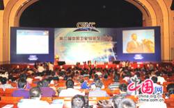
More than 3,000 delegates converged on China’s ancient capital of Xi’an last week to infuse the sixth China Satellite Navigation Conference (CSNC) with an energy reflecting the nation’s robust GNSS program.
More than 3,000 delegates converged on China’s ancient capital of Xi’an last week to infuse the sixth China Satellite Navigation Conference (CSNC) with an energy reflecting the nation’s robust GNSS program.
Organized by the Academic Exchange Center of the China Satellite Navigation Office (CSNO) under the slogan “Opening-up Connectivity Win-win” and vigorously supported by a dozen governmental and industry organizations, the event showcased the progress of predominately Chinese researchers, industry, and public officials in advancing the nation’s BeiDou Satellite System (BDS) and GNSS in general.
Located in north central Sha’anxi province, Xi’an (Western Peace, then known as Chang’an or Perpetual Peace) served as the imperial capital of Qin Shi Huang, who unified ancient China in 220 B.C., and nine succeeding dynasties. The city is also the site of the China Academy of Science National Time Service Center (NTSC), which monitors the offset between BeiDou system time and that of other GNSS systems, as well providing traceability of BeiDou system time to Coordinated Universal Time (UTC). (Xi’an is also the hometown of China’s current President Xi Jinping, who visited the city with India’s Prime Minister Narendra Modi during the week of the conference.)
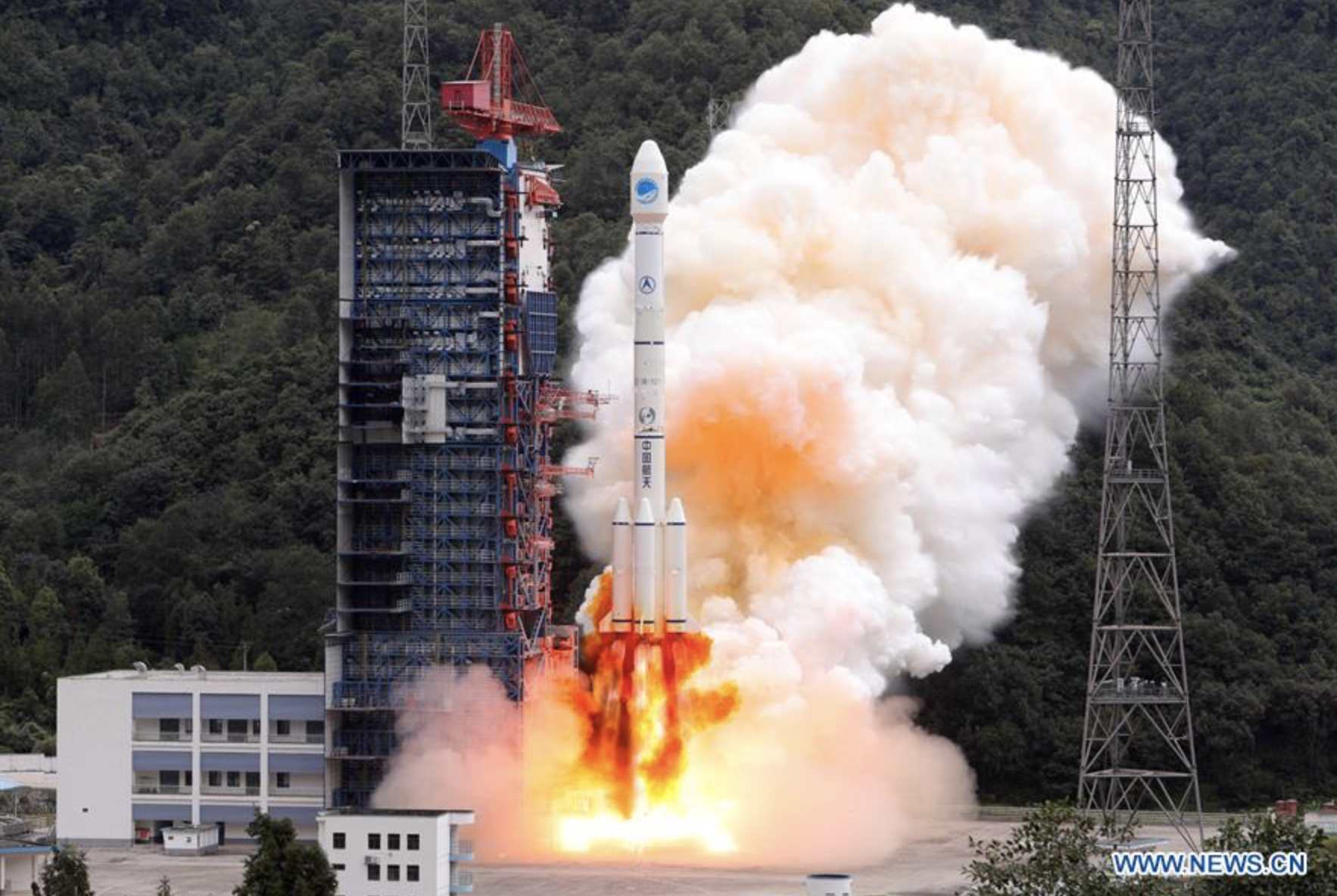
Technical sessions offered a panoply of GNSS research and test results, some of which revealed that GNSS applications in China still lag behind those in the United States and Europe, but it’s a gap that won’t take years to close. Indeed, some presentations reflected ambitious accomplishments, such as the use of GPS and GLONASS to track the Chang’e 5-T1 flight launched last October that conducted atmospheric re-entry tests on the design service and return modules for China’s unmanned lunar exploration program.
Another intriguing paper explored applications of GNSS in construction and measurement of high-rise buildings, including monitoring (with GPS and accelerometers) of the modernistic China Central Television Headquarters in Beijing (known locally as the “hot pants” building) that examined issues regarding its structural integrity. Sihao Zhao, from Tsinghua University, presented results of simulations of using BeiDou and other GNSS signals for attitude determination of China’s manned space station now in the planning phase.
A large exhibition accompanying the conference featured more than 120 exhibitors, including large aerospace companies, national and regional governmental agencies and institutes that support the BeiDou program, as well as many established and emerging GNSS manufacturers. Comments from exhibitors as well as conference sessions on regulatory policies, standards, trade laws, and patents and intellectual property reflected the interest of both the national administration and many manufacturers to begin marketing their products outside China.
Although organized as an international event (and featuring simultaneous English translation in almost all sessions), CSNC 2015 still drew a primarily Chinese audience, including many young engineers. Required use of Chinese bank–issued credit cards for online registration and an English-language website lacking in some details probably constrained overseas attendance. But foreigners who reached the conference venue were well rewarded for their efforts.
Presentations and conversations at the conference also reflected progress in bilateral talks between China and the United States, and China and the European Union, despite continuing trade and political issues that concern their respective governments at a higher level. Another round of talks between BeiDou and U.S. officials will take place in Washington, D.C., in June.


