Septentrio Signs Deal with JPL, Rolls Out New GNSS Receiver
Septentrio_PolaRx5TRSeptentrio has received a contract from the Jet Propulsion Laboratory (JPL) for 35 PolaRx5 GNSS receivers, the company said. The receivers, which consist of 25 reference stations and 10 timing instruments, will be used in the NASA Global GNSS Network (GGN).
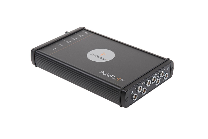
In other company news, Septentrio rolled out its new PolaRx5TR GNSS receiver. The unit has 544 hardware channels, features a calibration circuit, and supports all major constellations including GPS, GLONASS, Galileo, BeiDou, QZSS, and IRNSS, the company said.
By Inside GNSS