New research by Finland’s National Land Survey (NLS) seeks to measure and mitigate GNSS interference and to quantify receiver tolerance, in response to a surge of jamming and spoofing incidents in the Baltic region. Co-funded by the European Union under the European Regional Development Fund (ERDF), the project runs through March 2027.
Field trials and prototype validation will be carried out in Joensuu. This main regional center of Eastern Finland is close to the Russian border and the Karelia region, making it strategically relevant for border-region infrastructure, security, and monitoring.
The program, officially called GNSS-Itä – “Resilient positioning in Eastern Finland”, combines spectrum monitoring, ground-based signal logging, and comparative testing of commercial receivers, to generate objective metrics for interference susceptibility and graceful-degradation behavior.
In a recent NLS communication, Sanna Kaasalainen, Director of Navigation and Positioning at the Finnish Geospatial Research Institute (FGI), emphasized the need to test GNSS-independent alternatives and urged sustained investment to translate laboratory findings into operational contingency plans.
Right now
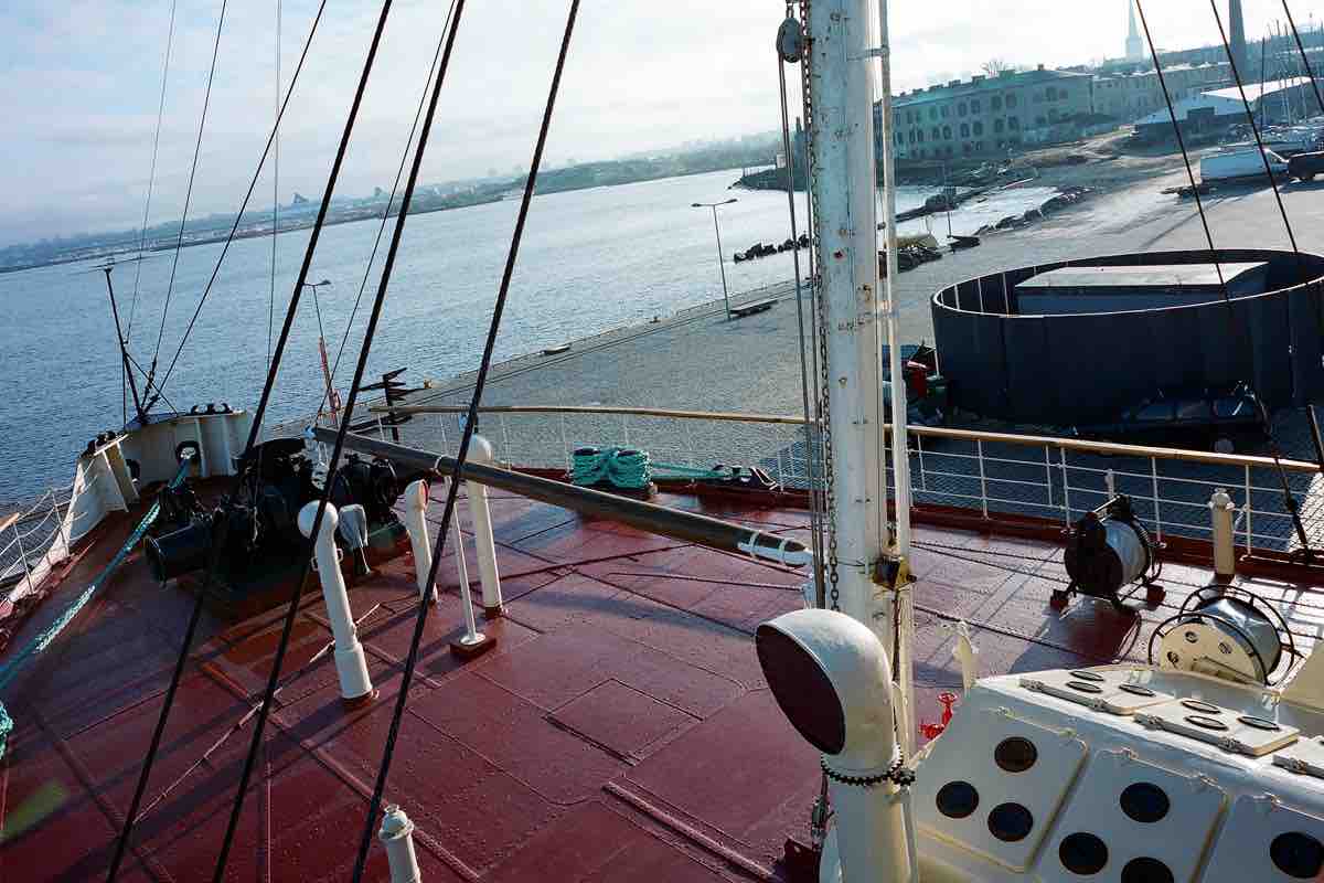
The timing is no accident. Since April 2024, authorities have documented persistent satellite-navigation disruptions in the Gulf of Finland, including episodes of jamming and location spoofing that have caused vessels to go off course and, in some cases, required on-scene intervention. International reporting and advisories have framed the pattern as a broader Baltic-region problem, with direct implications for maritime and aviation safety.
Ultimately, preparedness will depend on translating research results into procurement and operational changes. The NLS trials build on technology from private companies, which are providing anti-jamming enclosures and signal-filtering systems for testing. One vendor, Infinidome, has supplied a hardened GNSS-resilient antenna and filtering system. Sites are also being evaluated for nationwide rollout.
Regulatory and operational actors are also participating. Traficom’s public interference reporting framework and guidance provide the empirical baseline researchers need to prioritize mitigations for aviation and maritime users. Notices to mariners and regional advisories now routinely remind seafarers to report anomalies and follow contingency procedures when GNSS performance degrades.
The Finnish program is pragmatic. It does not promise a single ‘GPS-proof’ fix, but instead aims to produce verifiable receiver-tolerance standards, detection algorithms and deployment recipes, i.e. tools Baltic operators could adopt.
In media reports, Coast Guard commander Pekka Niittylä has warned that deliberate spoofing and shutdowns of automatic identification system (AIS), which rely on GNSS for accurate positioning, can hide illicit port calls, linking this research directly to security concerns across the Baltic region.


