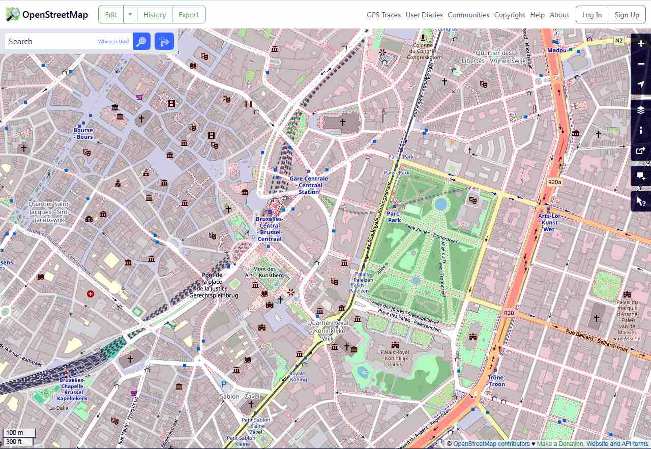
OpenStreetMap (OSM), the free geographic database, celebrated its 20th anniversary in August 2024. Updated and maintained by a community of volunteers, via open collaboration, OSM has grown by leaps and bounds over the past two decades, playing a role in the changing geospatial data landscape.
The project was initiated in 2004 by then college student Steve Coast and was originally focused on mapping in the United Kingdom. Exploiting local knowledge has been a key to its success, with contributors adding data from aerial imagery, surveys, GPS devices, and low-tech field maps, as well as from other freely licensed geodata sources.
TomTom, the Dutch multinational developer and creator of location technology, has become a key partner of OSM, providing its own edits to the project since 2021. The newest version of TomTom Map, released in 2023, uses OSM data.
In a recent blog, TomTom’s editorial team described OSM as an absolutely loaded data source, providing, for example, valuable pedestrian and visual features that complement TomTom’s own very rich proprietary resources. In return, TomTom supports OSM by sharing mapping expertise and hosting mapping events, and through sponsorships.
Deep inroads
From a blank slate, 20 years ago, OSM has become a truly global project. Starting with the addition of large-scale objects and major motorways, contributors have proceeded to build a high-resolution representation of the world, including the streets we live on, the footpaths where we walk, and even the trees we sit under.
Any number of today’s popular digital service providers are incorporating more and more geolocation or other map-based elements, and that trend continues to grow. Among the providers already known to be using OSM data in their location-related services are Apple, Facebook, Foursquare, Snapchat, Strava, Flickr, Craigslist and Grab. Those specifically providing navigation-related services include Tesla, Garmin, Organic Maps, Moovit, Amazon, Komoot, Gurtam and Geotab.
Humanitarian organizations also use OpenStreetMap in responding to natural disasters; citizens’ groups consult it in the context of local transportation planning. And, not least, climate scientists, the United Nations and the Red Cross use OSM. With 20 years now behind it, the project looks likely to continue to provide powerful benefits to a widening community of users, all for free, for quite a few years more.


