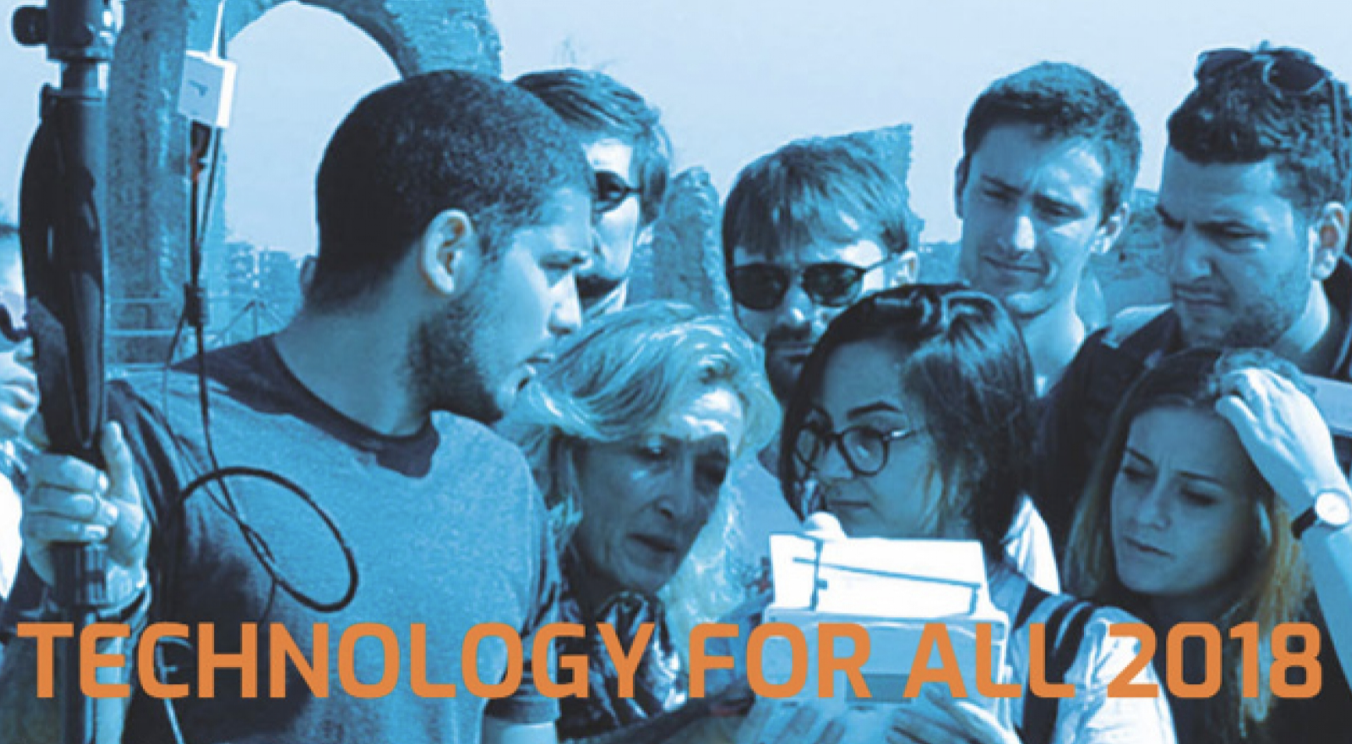
Positioning and mapping technologies are converging and integrating as never before, enabling developers to deliver innovative high added-value applications and services, according to participants in the 5th edition of Technology for All, a forum dedicated to technological innovation in support of the environment, cultural heritage and smart cities, which was held at Rome’s Higher Institute for Firefighting (Istituto Superiore Antincendi) in early October.
At the event, which brought together more than one hundred industrial stakeholders, public administrators, researchers and students, participants discussed how positioning, navigation and imagery technologies are being used to enable applications in the public sector and in other areas, such as autonomous machines, and military and civilian robotic applications, according to a press release from the European Global Navigation Satellite Systems Agency (GSA).
Galileo Added Value
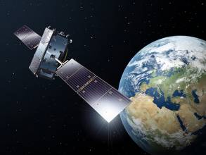
Speaking at a session on Position, Navigation and Timing: accurate position for safety, Gian Gherardo Calini, GSA Head of Market Development, said that the global satellite navigation market had seen strong growth recently and it is expected that by 2020 the number of devices equipped with satellite positioning would reach 8 billion, creating “numerous opportunities” for application developers to provide high value-added services.
“Satellite navigation services already touch our daily lives and are generating economic and social benefits, with the European satellite navigation programs Galileo and EGNOS being adopted by many users in various fields, such as transport, consumer and professional services,” Calini said. This was thanks to the GSA’s market outreach work and to the development of new applications by European companies leveraging the unique features of EGNOS and Galileo.
“There are many other development opportunities where Galileo can bring added value, such as in autonomous vehicles and in smart cities”, stated Calini, adding that “the GSA is committed to keep the fruitful cooperation with European business to improve competitiveness and reach new heights”.
Interest in High-Precision GNSS
Addressing high positioning accuracy of GNSS receivers, Marco Lisi from the European Space Agency said that there had been a significant increase in interest in high-precision GNSS in recent months.
“In particular, this increased demand for greater positioning accuracy is evident for mass-market applications in areas such as IoT, wearable tracking devices, assisted and autonomous driving, UAV and robotic vehicles,” he said.
Watch this: Who is using Galileo today?
Mass Market Revolution
Meanwhile, Lisi noted that the world of GNSS handset and chipset manufacturing is experiencing a small revolution. “Four major companies — Broadcom, Intel, STMicroelectronics and u-blox — have decided to make Galileo dual-frequency receivers commercially available to mass market applications, offering positioning accuracy of up to 30 centimeters,” he said, adding that several flagship smartphone manufacturers would integrate these into their products in the course of 2018.
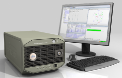
Roberto Capua, responsible for GNSS R&D at Sogei, the technological partner of Italy’s Ministry of Economy and Finance, presented a GNSS-enabled software defined radio (SDR) receiver that has been extensively tested in the area of Rome to verify its usability for cadastral survey. “The test showed the usefulness of this technology, which is comparable with hardware receivers,” he said, adding that convergence time could be reduced in the future by using different constellations and frequencies.
Finally, GNSS and Earth Observation applications presented at Technology for All 2018, demonstrated that Space technologies help to protect and monitor both the natural and built environment, with a view to guaranteeing our heritage for future generations.


