On Wednesday, February 24, 2016, Inside GNSS, Inside Unmanned Systems, and u-Blox AG presented a free 90-minute web seminar continuing our exploration of GNSS positioning, navigation, and guidance for UAVs.
On Wednesday, February 24, 2016, Inside GNSS, Inside Unmanned Systems, and u-Blox AG presented a free 90-minute web seminar continuing our exploration of GNSS positioning, navigation, and guidance for UAVs.
Improvements in technology and regulatory environment are stimulating the expanded use of unmanned aerial vehicles (UAVs) in a widening range of applications. Now the capability of airborne platforms to deliver higher accuracy performance can meet ever-more-demanding requirements of users.
Building on our previous webinars, our panel of experts provided an introduction to real-time kinematic (RTK) and post-processed kinematic (PPK) positioning followed by presentations of real-world applications and benefits for UAV operations.
Our panel discussed use cases including high-fidelity modeling of vehicle motion, railway and pipeline mapping, and environmental monitoring. Audience members will have the opportunity to participate in real-time question and answer periods with the panel members.
Register now for on-demand viewing
This webinar has already taken place. You may download a PDF of the webinar slides here:
You may view a recorded version of the webinar presentation at the link below. (If you have not registered yet, you will need to do so in order to view the recording.)
View recorded version of the webinar presentation
Panelists
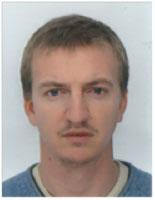
Bastien Mancini, director general of Delair-Tech SAS, began his career at CNES (the French Space Agency), in charge of the trajectography and flight safety systems for the Ariane rocket and later oversaw the the qualification of the Soyouz launchpad in French Guiana. Educated at l’École polytechnique, he founded Delair-Tech, a French manufacturer of long-range UAVs, sensors, and ground control stations,
with three colleagues in 2011. The company has since grown to include 50 employees and provides UAV-based services worldwide.
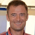
François Gervaix, product manager – survey for SenseFly, a Swiss company that develops and manufactures aerial imaging drones for professional applications, is a qualified geomatics engineer. He has worked for Leica Geosystems and as a professor at the Technical University for Applied Sciences Western Switzerland (HES-SO). In 2010 he launched project R-Pod, Photogrammetry on Demand, before founding Easy2map, a UAV-based photogrammetry service provider, in 2012. Since 2011 he has also served as president of the Swiss Society of Photogrammetry and Remote Sensing.
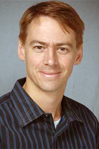
Steve Waslander, is a professor in the Department of Mechanical and Mechatronics Engineering at the University of Waterloo, Ontario, Canada. Previously, he was a control systems analyst for Pratt & Whitney. He is the Director of the Waterloo Autonomous Vehicles Laboratory (WAVELab). His research interests are in the areas of autonomous aerial and ground vehicles, simultaneous localization and mapping, nonlinear estimation and control, and multi-vehicle systems. He received his M.S. and Ph.D. from Stanford University in aeronautics and astronautics.
Moderator
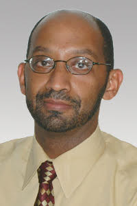
Demoz Gebre-Egziabher is an associate professor of aerospace engineering and mechanics at University of Minnesota-Twin Cities, USA. His research deals with the design of mutlti-sensor navigation and attitude determination systems for aerospace vehicles. Recently his work has focused on multi-sensor solutions for operations in GNSS-stressed and -denied environments.


