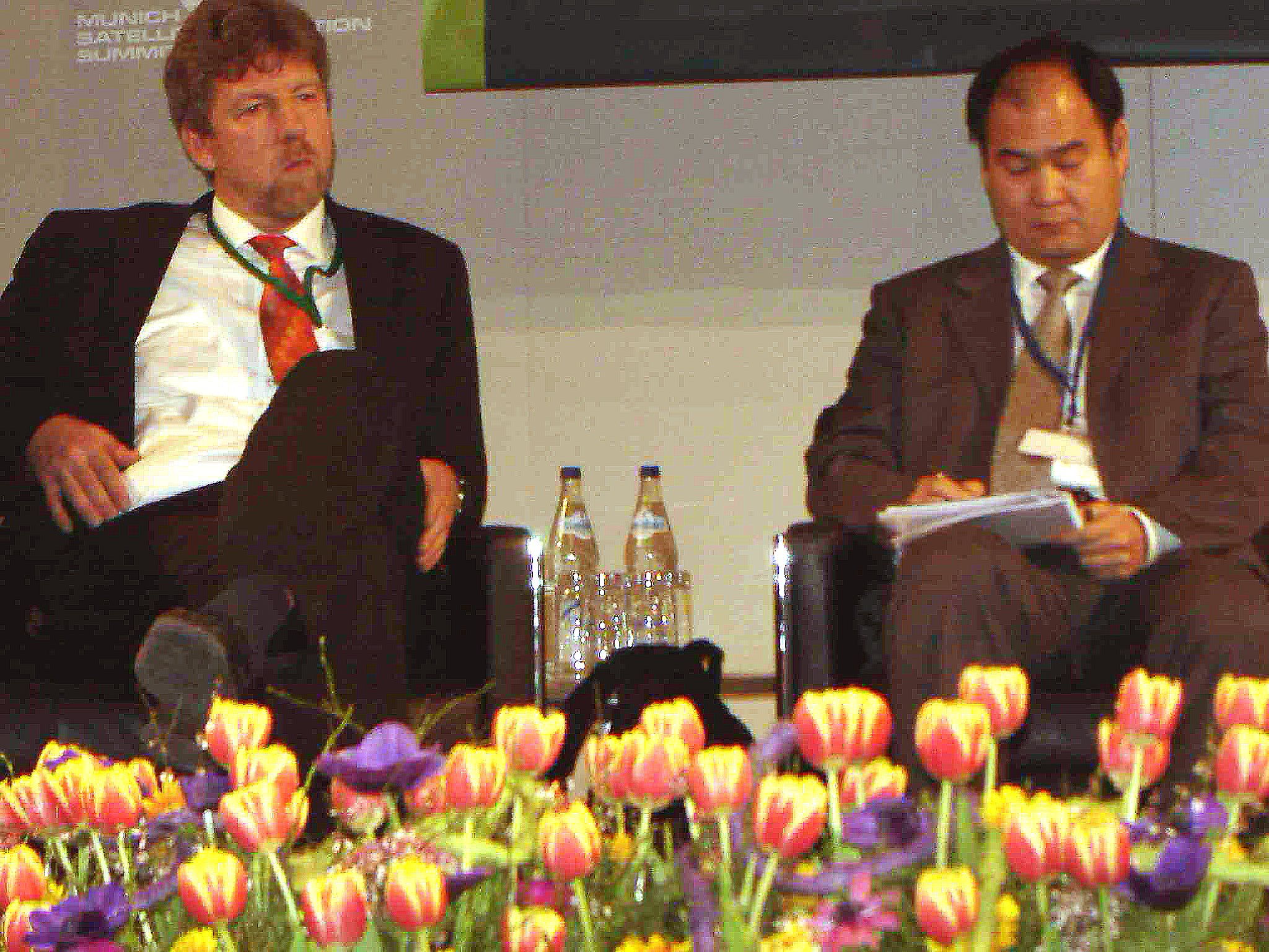
Representatives of the world’s GNSS providers outlined the current plans and progress of their systems at the 2016 Munich Satellite Navigation Summit in Germany.
BeiDou has entered its transition period from Phase II to Phase III, with test and validation of the next phase with its new signal structures and frequencies taking place through the second half of 2017, said Jun Shen, deputy director for International Research at the China Satellite Navigation Office. In the meantime, “there will be a coexisting of Phase II/III BeiDou signals.
Five new-generation satellites have been launched, with an eventual constellation of five geostationary (GEO) satellites, three inclined geostationary (IGSO) satellites, and 27 middle-Earth-orbiting (MEO) satellites planned for the global system expected to be in place by 2020. At that time, a new interface control document (ICD) will be published for open signals as soon as possible.
The first GEO satellite for China’s satellite-based augmentation system (SBAS) is scheduled for launch in 2018.
Europe’s Galileo program is planning to roll out its initial services in October, after launch setbacks delayed the original schedule for last year. These will include the civil Open Service (OS) signals and the encrypted Publicly Regulated Service (PRS). Partial introduction of the Commercial Service will take place with receiver manufacturers able to test equipment using ground-based signals, according to Pierre Delsaux, deputy director-general for the European Commission (EC) Internal Market, Industry, Entrepreneurship, and SMEs directorate (DG-GROW).
Twelve on-orbit Galileo satellites will be enough to declare initial services, Delsaux added. Nine healthy spacecraft are on orbit now, with a dual-launch scheduled for May and the first launch of a modified Ariane 5 carrying four Galileo satellite planned for October.
The Galileo search and rescue (SAR) service will also be introduced in October and integrated into the existing COSPAR/SARSAT global SAR system, said Carlo des Dorides, executive director of the European GNSS Agency (GSA).
The GSA, which also has responsibility for Europe’s SBAS, the European Geostationary Navigation Overlay Service (EGNOS), wants to extend the use of that system outside of Europe. “PRS will be part of our cooperation with countries outside Europe,” des Dorides added.
The GSA is establishing a Security Accreditation Board, an independent entity with representatives of the 28 European Union member-states.
An invitation to tender (ITT) issued in December will lead to construction of eight more Galileo satellites for deployment in 2020, according to Paul Flament, head of the EC unit for Galileo and EGNOS, Program Management and GNSS Policy. A Galileo system operator will be selected by the end of this year, similar to the role played by the ESSP-SAS under an EGNOS Service Provision contract with the GSA.
The GLONASS program is continuing its modernization of space and ground segments, with advanced control of new-generation satellites containing two cesium and two rubidium atomic frequency standards on board the spacecraft, said Tatiana Mirgorodskaya, of Roscosmos PNT Information and Analysis Center at the Central Research Institute for Machine Building.
Synchronization of GLONASS system time with coordinated universal time (UTC-SU) will be implemented at less than two nanoseconds’ difference, while Russia’s PZ-90 geodetic system is aligned with the International Terrestrial Reference Framework (ITRF) at the millimeter level.
The big news from the GPS program is an initiative by the U.S. Space-Based Positioning, Navigation, and Timing (PNT) Executive Committee (ExCom) to identify and develop requirements for a backup system to GPS.


