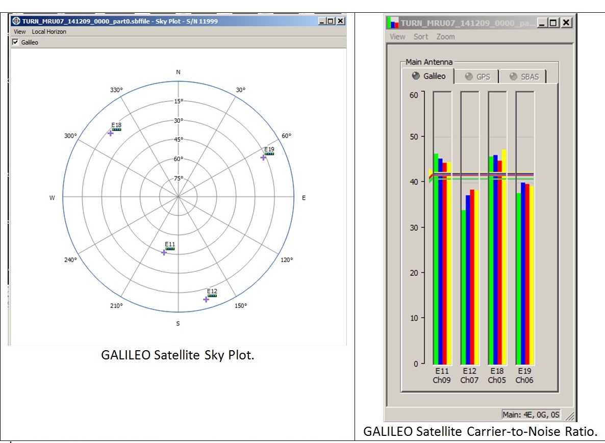
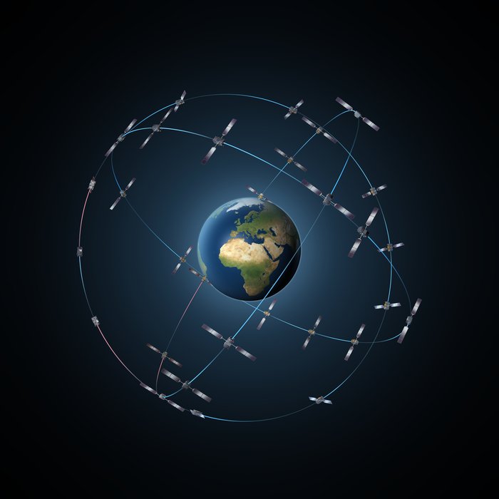
 Galileo satellite geometry and received signal strength for the December 9 fix using the first Galileo FOC satellite, as received by the Septentrio Test User Receiver at ESTEC. The first Galileo FOC satellite corresponds to E19 on the left display; IOV PFM to E11, IOV FM2 to E12 and IOV FM3 to E19. ESA figure
Galileo’s fifth satellite (and first fully operational capability, or FOC, spacecraft) — recently salvaged from an incorrect orbit — has been combined with three predecessors to provide its very first position fix.
Test receivers at the European Space Agency (ESA) ESTEC technical center in Noordwijk, the Netherlands, and at the Galileo In-Orbit Test station at Redu, Belgium, received the signals at 12:48 GMT on December 9 from a quartet of Galileo satellites and fixed their horizontal positions to better than two meters.
This achievement is particularly significant because the satellite, designated FOC FM-1, is the first of a new design for 22 Galileo spacecraft planned to be launched over the next few years.
Additional position fixes using FOC FM-1 were made by France’s CNES space agency in Toulouse. CNES engineer Bernard Bonhoure reported that “the results are as good as those for the first Galileo fixes in 2013 with the initial four satellites.”
The following day, fixes were performed using Galileo’s Public Regulated Service, the encrypted highest-precision class of signal.
“The very good geometry of the satellites in the sky relative to the receivers helped us to achieve this result, plus the signal strength of the fifth satellite,” said Gustavo Lopez Risueno, who coordinates the receiver team at the Navigation Laboratory in ESA’s ESTEC technical center.
“This is a significant milestone for the Galileo program because it marks the very first time that a ‘Full Operational Capability’ satellite has performed a fix together with its ‘In-Orbit Validation’ predecessors — which were the first four satellites launched into orbit, in 2011 and 2012,” Risueno added. “This establishes they work together well.”
Assisted Galileo
“While it is not yet possible to make routine use of the fifth Galileo, this shows such an outcome is within our reach,” said Risueno. “In particular, it opens the door to its immediate use in combination with additional navigation message information provided through ground networks, which is a standard mode of operation for mass market receivers, such as those found in our smartphones.”
The fifth and sixth satellites were delivered into the wrong orbit by their Soyuz–Fregat rocket in August. Their elongated orbit took them out to 25,900 kilometers above Earth and back down to 13,713 kilometers, rather than the planned circular path at 23,222 kilometers. The angle of the orbit to the equator was also wrong.
The satellites’ shifting altitude left them unable to lock onto Earth for part of each orbit, preventing them from being used for navigation purposes.
But, last month, a series of 11 maneuvers took the fifth satellite into a more circular orbit, some 3,500 kilometers higher, allowing its navigation payload to be switched on for testing. A similar salvage operation is planned soon for its companion, FOC FM-2.
According to ESA engineers, the main hurdle in using the fifth (and subsequently sixth) satellite operationally is that mass market receivers in particular might take longer to find it. Their orbits fall outside the satellite almanac’s standard broadcast found in the Galileo navigation messages.
Using navigation-assistance information — similar to that provided through telecom networks for GNSS-enabled smartphones, a technique known as assisted-GNSS, or AGNSS — would be a way to shorten acquisition times, and ESTEC’s Navigation Laboratory has already demonstrated it with mass market receivers.
Working in conjunction with the European Commission and Europe’s GNSS Agency, the lab performed position fixes with both Galileo and GPS satellites using only navigation-assistance information.


