Cell phones are helping save lives with their location accuracy during emergencies, but they can get even better.
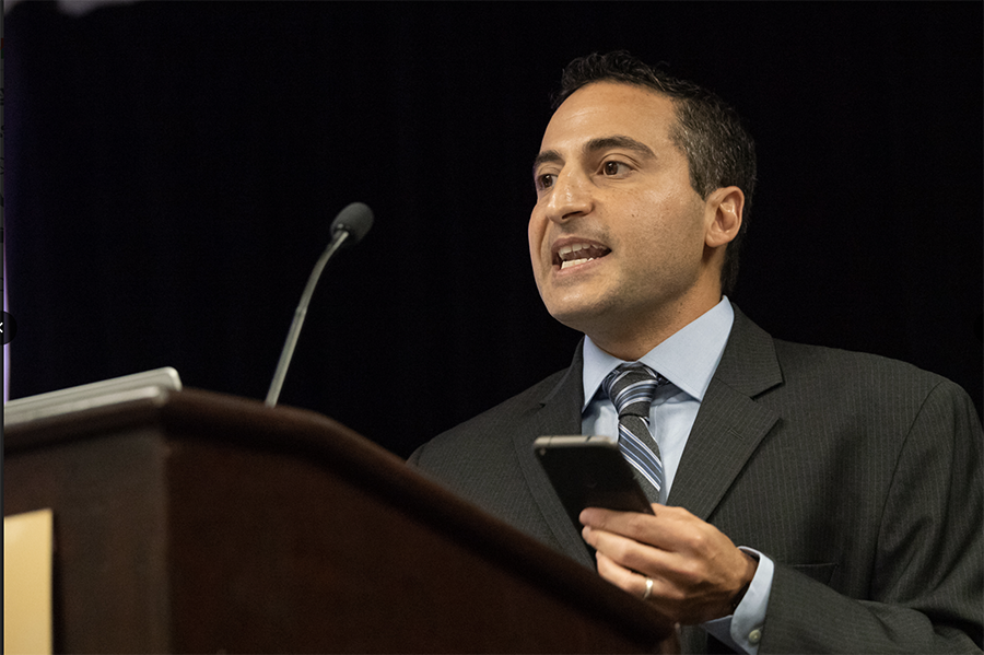
That was one of the messages delivered by Google’s Steve Malkos during his keynote address Tuesday night at the ION GNSS+ Plenary Session in Miami. Malkos, the Technical Program Manager in the Android Location and Context Group at Google, gave one of two keynotes to a packed ballroom of attendees. Paul LaRocque of Teledyne Optech gave the other speech on Tuesday, titled “A Lidar History: From Ship to Air to Space.”
Malkos shared news of the recent announcement that Emergency Location Service in Android, which is designed to deliver more accurate location to emergency services when an emergency call is detected, is now available in the United States through Google partnerships with RapidSOS and T-Mobile.
“I want to challenge all of you to do more with location,” said Malkos, who demonstrated some location tests conducted this week with the Miami Police Department on 911 calls made from the Hyatt Regency where ION GNSS+ is being held.
He explained how Fused Location Provider technology in Android phones can augment GPS and provide a critical positioning solution indoors. “It just works. The user doesn’t have to do anything,” he said.
The presentation included success stories in different parts of the world where ELS’ accuracy helped save lives. Malkos also addressed challenges that include sensor quality, privacy, low power requirements, estimating floor numbers in buildings, and even odd situations like buildings in the U.S. that don’t include a 13thfloor.
In his closing remarks, Malkos thanked the ION attendees for helping advance location-based solutions and added: “You are driving us toward this future.”
LaRocque followed up Malkos’ presentation with plenty of background on the long and evolving history of laser radar systems. The president of Special Projects at Teledyne Optech has been involved in the development of Optech’s lidar systems since the 1980s.
He was instrumental in the design of the company’s airborne lidar bathymeters, airborne lidar terrain mappers, waveform digitizers, and more.
While describing how the technology has improved greatly over the years and the equipment has gotten much smaller and lighter, he also explained how new applications came about. One area that was not expected to play a big role was that of using the data for power lines.
“Around 1994 we came about another application and it was somewhat of a surprise,” he said when it was learned that powerlines could be viewed. “Airborne lidar surveying of powerlines is a now a big industry all by itself. And its software processing that really brings out the accuracy,” he said.
Teledyne Optech’s latest developments include 3D Imaging, and LaRocque said Optech offers advanced space lidar systems for planetary exploration and orbital operations and the company’s space-proven lidar systems have been deployed on notable space missions, and used on the surface of Mars.


