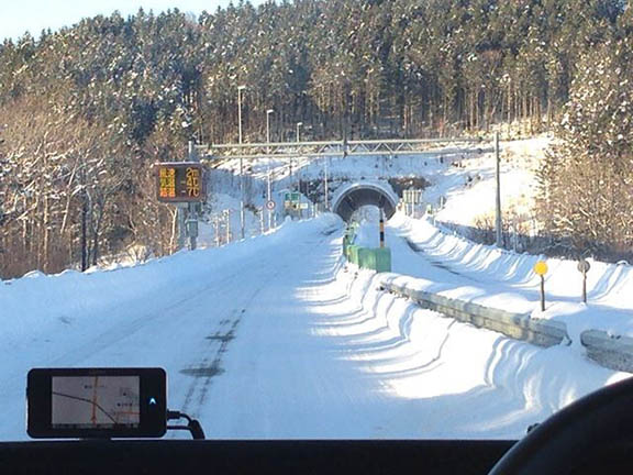
 Mobile GNSS Field Data Set being tested in the winter. Photo: Lighthouse Technology and Consulting
 Lighthouse Technology and Consulting Co., Ltd is proceeding with a program to collect precise GNSS data on major highways in Japan. The data is an inevitable “must use” tool for high precision positioning systems used in automated driving vehicles.
While the major part of autonomous driving systems consists of sensors and image recognition technologies, satellite positioning is also a key element used for complementing the precise current position.
Lighthouse Technology and Consulting Co., Ltd is proceeding with a program to collect precise GNSS data on major highways in Japan. The data is an inevitable “must use” tool for high precision positioning systems used in automated driving vehicles.
While the major part of autonomous driving systems consists of sensors and image recognition technologies, satellite positioning is also a key element used for complementing the precise current position.
Data Collecting
There are obstacles to overcome with automated driving on public streets, and the competition among companies to develop solutions is accelerating due to recent technological advancements in sensors, image recognition, and artificial intelligence. In addition, Japan’s Quasi-Zenith Satellite System (QZSS) has brought attention to developments in centimeters leveled high precision positioning.
When dealing with satellite positioning technology for automated driving systems, it is inevitable to have a variety of high precision field data at the point of development, testing, and fine tuning prior to the driving test of the vehicles, and to have the reference position data at the point of evaluation.
Utilizing the Collected Data
Lighthouse Technology is planning to finish the data collecting by December 2017, and after consolidating the data, will start the service to provide the data package Mobile GNSS Field Data Set and high precision positioning system products for developing mobile vehicle applied technology.
Mobile GNSS Field Data Set is a package of field data and precise reference position data, which will accelerate the development speed for consumers by decreasing the time and cost to systemize and do all the data collecting by themselves, according to the company.
Before experimenting by driving a car, simulation is the usual method used to develop a new product. Precise data will help for making precise maps required for autonomous driving systems to be used on the highway. Lighthouse Technology has worked with several car manufactures, car electrical components manufactures, and others to discuss and plan for the Mobile GNSS Field Data Set. “That is why we think the data is an inevitable ‘must use’ tool for high precision positioning systems used in automated driving vehicles,” said Masaki Nakamura of Lighthouse Technology and Consulting Co., Ltd.
Details of the Mobile GNSS Field Data Set include routes, roads, seasons, mileages, an on-board GNSS receiver data set,
and a precise reference position data set.


